The site, known as The Observatory, is a former Royal Radar Establishment outstation near Sheriffs Lench to the north-west of Evesham which was used initially as a VHF communications station for RAF Pershore.
Recently, permission was granted for conversion of the buildings at the site into holiday lets and we were commissioned to record them before they were converted and to monitor groundworks required for the new development.
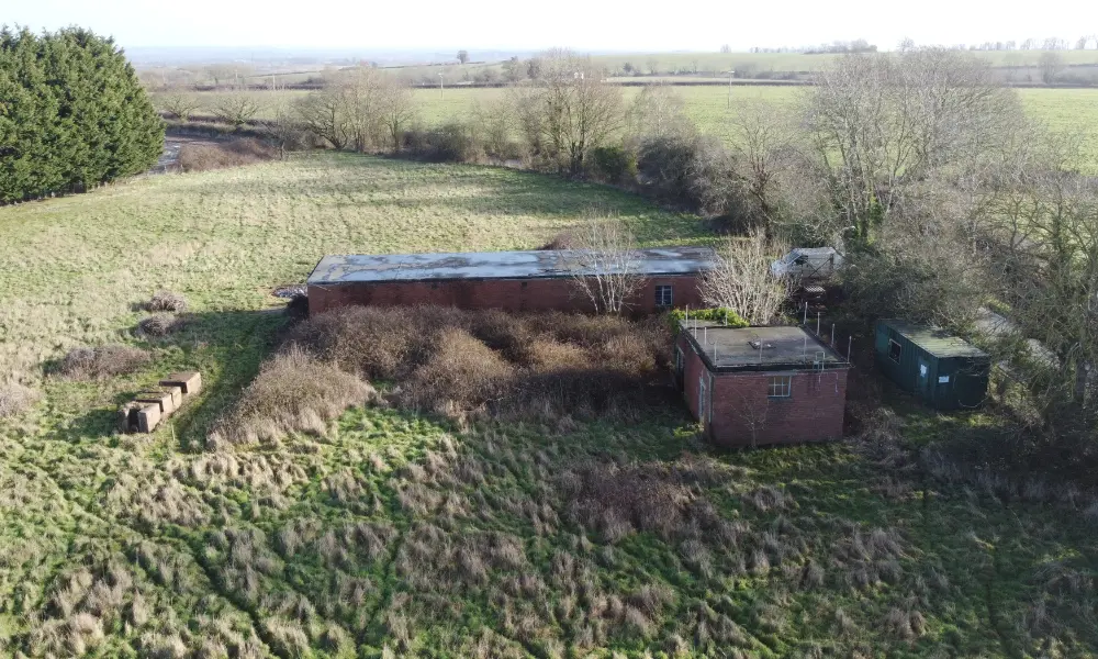
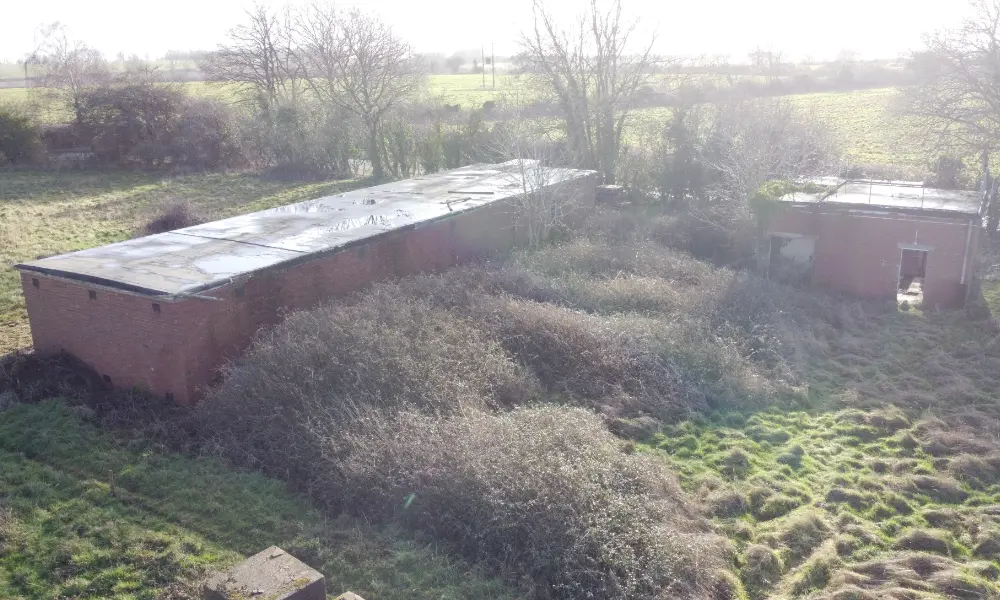
Low level aerial view south-east of the administration and transmitter building and generator building
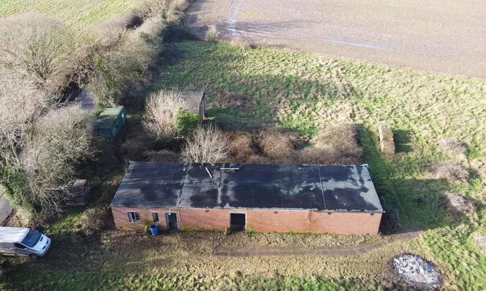
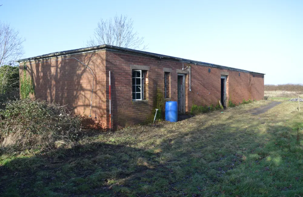
Two flat roofed concrete buildings survive in the development site, as well as some pathways, the base of a telescope and the stanchions for two 70 foot high wooden towers. Slightly outside the development area is a double skinned hut which formerly housed a camera and is placed on rails. This is located on land that is in different ownership and is not shown here.
Around 1941, the site was requisitioned for the Air Ministry and, taking advantage of the high ground, was used for a small Very High Frequency (VHF) wireless station associated with the nearby RAF station at Pershore. Buildings at the site were constructed of timber and a 60 foot high aerial mast erected. An RAF aerial photograph taken in March 1948 (available on the National Library of Scotland website https://maps.nls.uk/view/238921204) does not show the mast or any buildings on the site. It appears as though the strategic importance of the mast and related buildings meant that it could not be shown on aerial photographs, and the site resembles pasture instead, as it would have done prior to World War II. According to a local history of the site, the aerial mast was removed in 1952.
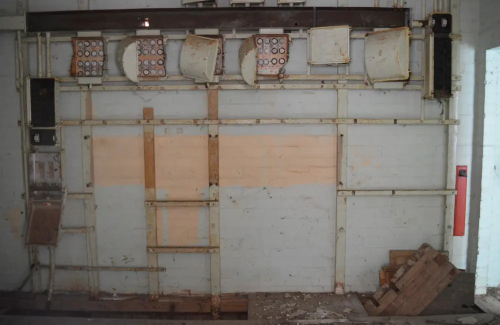
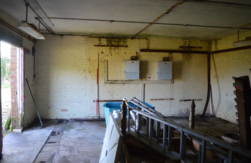
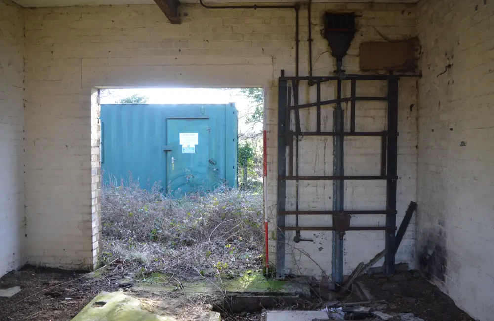
In about 1957, two buildings were constructed at the site, one of which housed a transmitter hall connected to an administrative centre and the other housing a generator. The transmitter hall was windowless and had minimal ventilation through wall mounted grills. Two 70 foot high wooden towers were erected on either side of the main transmitter hall and a quarter wavelength aerial was strung between them. As with aerial photography, the buildings were not shown on mapping due to their military and strategic importance.
By the early 1960s, the ‘Hewitt Camera’ was located at Sheriffs Lench, operated by the Royal Radar Establishment (RRE) Malvern and installed within a purpose-built hut on rails. Originally designed to track the Blue Streak Missile (intended to provide a British medium range ballistic nuclear deterrent); when this project was cancelled, it was decided to use it for tracking satellites for geodetic analysis. The camera at Sheriffs Lench was one of two, conceived and designed by Joseph Hewitt (1912 to 1975), the other of which was at Lye Vallets, between Leominster and Hereford.
In 1982 the telescope from the site (also known as the Malvern Camera) was sent to the Royal Observatory in Herstmonceaux where it was used for tracking the orbits of artificial satellites, which gave information about the earth’s gravity field and properties of the upper atmosphere. The camera from Lye Vallets was moved to Western Australia where it produced results to complement those from Herstmonceaux (further information can be found at the website of the Observatory Science Centre in Herstmonceaux, East Sussex https://www.the-observatory.org/).
The double skinned run-off hut which formerly housed the camera survives at the site (outside our development area). The design of the hut meant that the mirror in the camera was heated or cooled to the same temperature to the outside and the camera could be used on immediate exposure to the exterior, when the hut would be rolled back on tracks.
The Observatory has been derelict for a few years now but the new development will bring a new phase to this fascinating site and will offer a very unique and picturesque spot to spend a few days!
